
Detection of anti-aircraft artillery
Satellite imagery plays a key role in the field of security, as it allows for remote and constant monitoring of areas of strategic interest. In particular, for the detection of weapons such as anti-aircraft artillery systems, satellite imagery provides a crucial advantage by offering a broad and continuous perspective without the need for physical interventions.
High Resolution Optical Images
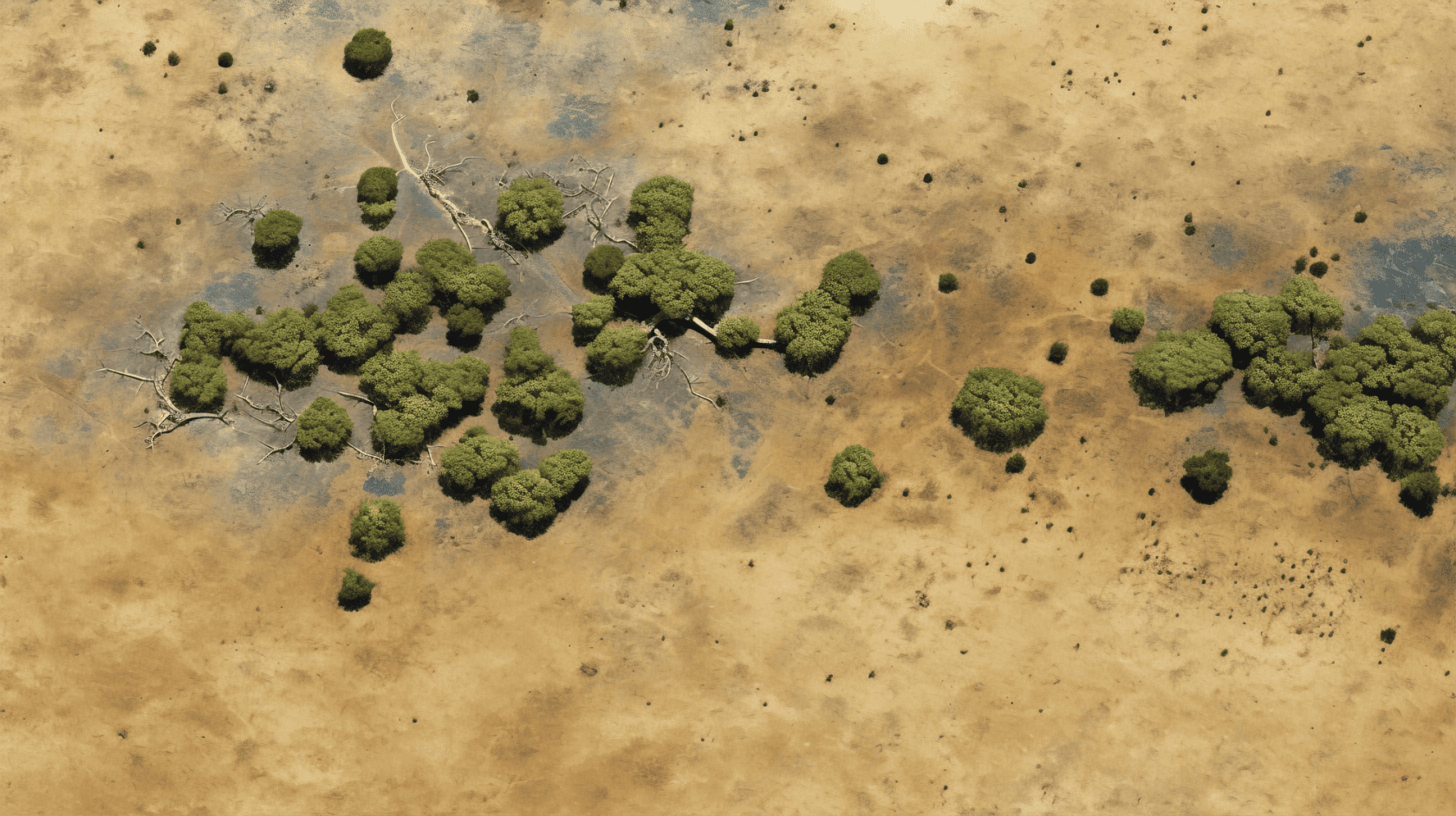
High-resolution satellite imagery, in the meter-per-pixel (m/px) range, especially in the optical spectrum, is a powerful tool for the accurate detection of small objects such as anti-aircraft artillery pieces. This type of imagery offers fine details, capable of distinguishing specific characteristics of weapons, such as their structure, shadows, or the configuration of the vehicles and platforms that carry them. Multispectral imagery, in addition to capturing the visible range, covers infrared wavelengths and other bands, allowing the detection of thermal signatures or specific materials that could be indicative of hidden military weapons or infrastructure. The combination of multispectral and very high-resolution images allows for more complete and reliable analysis, facilitating the discrimination of military artifacts among the visual noise of the environment.
In this sense, in order to be able to use this set of data available through satellite images in the detection of elements, there are models of Convolutional Neural Networks (CNN) CNNs have emerged as the most effective tool for the automatic detection of features in satellite images, including anti-aircraft artillery pieces. CNNs have the ability to learn from complex visual patterns and are especially useful for processing large-scale images, such as those captured by satellites. Their layered structure allows these models to identify features from the most basic levels (edges, textures) to complex elements (shapes of military vehicles or anti-aircraft guns).
For CNN models to achieve a high level of accuracy in detecting weapons, it is essential to have Large, high-quality datasets covering multiple scenarios, weapon types, and environmental conditions. These datasets should not only include clear examples of the objects of interest, but also examples in different contexts and with visual variations (angles, resolutions, lighting) so that models can generalize and detect efficiently in real-world situations. Without extensive and well-labeled datasets, models risk becoming highly dependent on training conditions, reducing their effectiveness in previously unseen situations.
AI model in SEDA
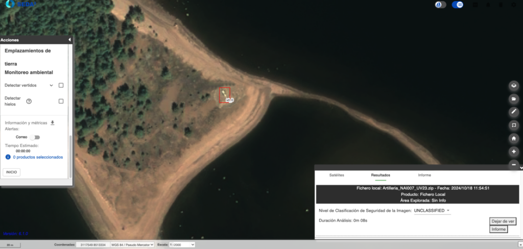
Currently, SEDA includes an anti-aircraft artillery detection model trained with a manually labeled dataset from known locations of the elements. It is capable of carrying out detection of certain elements in the environments considered in the training dataset. The result is provided with the image labeled with the detection boxes of the artillery detected by the AI model, as well as result reports in different formats, PowerPoint (presentation with the capture of the most relevant elements, as well as their position, satellite mission and satellite product from which the information has been obtained), superimposable KML, NVG and Shapefile, and reports in NATO format such as ISRSREP , RECEXREP and image analyzed in format NSIF.
Applications
This ability to detect and analyse the disposition and movement of military assets in real or near real time provides security and defence forces with a decisive advantage, allowing them to identify potential threats, plan operations, and prevent incidents. In scenarios where critical infrastructure may be targeted by air attacks, early identification of air defence systems is key to effectively neutralising such threats.