SEDA
Satellite Data AI
Automated Satellite Image Analysis with Artificial Intelligence

Satellite Data AI
Automated Satellite Image Analysis with Artificial Intelligence
What is SEDA?
SEDA is an ambitious research and development project led by HI-Iberia and funded by the Spanish Ministry of Defense. Through SEDA, the aim is to accelerate the process of analyzing satellite or aerial images and optimize report generation, reducing both the time and costs associated with traditional methods.
The goal of the project is to automate analysis through advanced Artificial Intelligence models to enhance analysts' capabilities. SEDA enables the automatic downloading of images through the integration of various data sources, automatic analysis, and report generation. All of this is available via a web portal or an API interface.
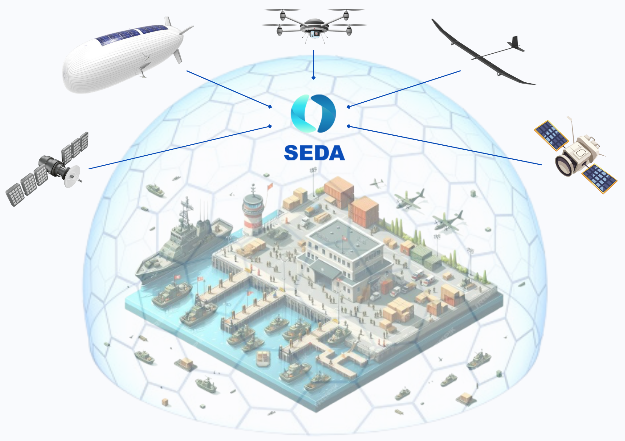
Working Together for Global Security

What do we do?
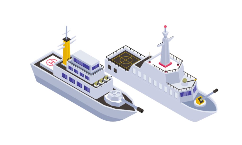
Ship detection and recognition: it defines each ship or vessel present in the images of interest by drawing an oriented bounding box and classifying them.
Identification of anomalous behaviors in certain vessels that could indicate illegal activities when two vessels are docked side by side.
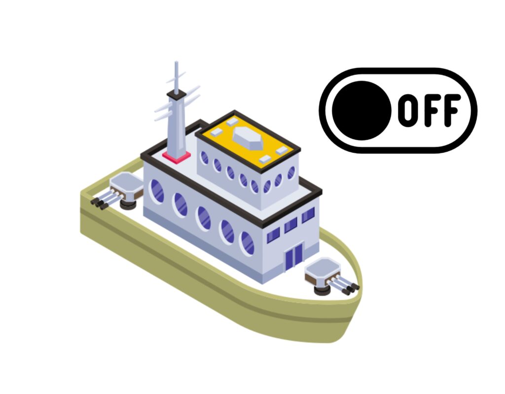
Detection and localization of 'Dark Vessels' through image analysis and detailed AIS history of their previous positions for subsequent prediction of their future route.
Detection of ships with classes not included in the initial EDIS models from a few reference images of the ship to be found.
Alert of ship arrivals and departures at selected ports by comparing images captured at different time intervals, enabling port monitoring.

Change detection system in coastal areas, identifying new structures or modifications in the coastline, enhancing surveillance of the coastal environment.
Detection of large structures such as wind turbines or oil platforms, both in Optical and SAR images.
Precise localization of anti-aircraft artillery in very high spatial resolution images, enabling the detection of emplacement positions.
The representation of detected vessel locations through heat maps using AI models facilitates maritime monitoring and decision-making.
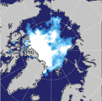
The segmentation of ice concentrations is based on classifying each pixel from SAR images near the poles, enabling route planning and detection of drifting ice.

Detection of hydrocarbon spills through the analysis of SAR images, which, with the help of specific preprocessing, enables the localization of oil spills for early warning and monitoring.
Detection of floating marine elements used for fish or algae farming. It allows for zone monitoring, enabling early detection of illegal farms or control of existing farm areas.
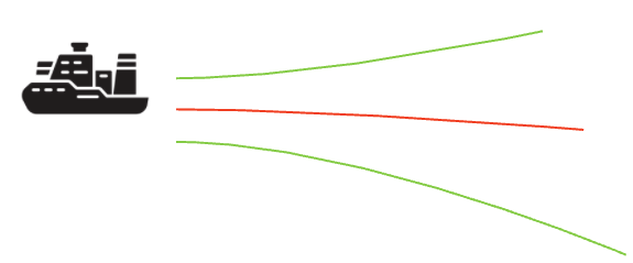
Detection and vectorization of the turbulence generated by ships as they pass through the sea, enabling the localization and determination of the course of vessels through this effect.
Detailed comparison of images from different time points to detect changes caused by the construction and/or destruction of buildings during that period.
Detection and vectorization of buildings visible in satellite images based on their roof/footprint, allowing for control in both military and urban management and emergency response.
The vectorization of roads and paths visible in satellite images of large areas is carried out to automatically identify the routes present in vast scanned regions. This approach accelerates the cartographic update processes.
Satellite image segmentation based on its typology is a process that automatically classifies different areas of the Earth's surface. This method uses advanced techniques to distinguish and categorize areas into different categories.

HI Iberia - We are the future, we are innovation, we are development, we are technology.
HI iberia has been providing ICT solutions and outsourcing to our customers for more than 20 years, providing flexibility and rapid adaptation to new markets and business models. All this is possible thanks to our agility in adapting our services and detecting new opportunities and trends.
Our commitment to innovation and quality is our best letter of introduction.