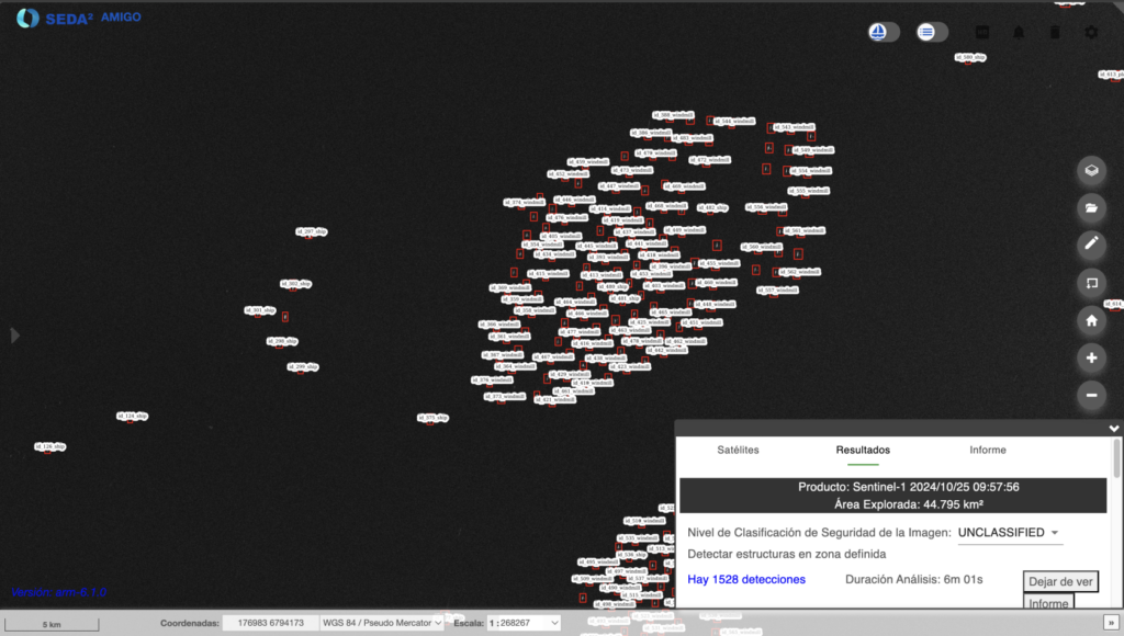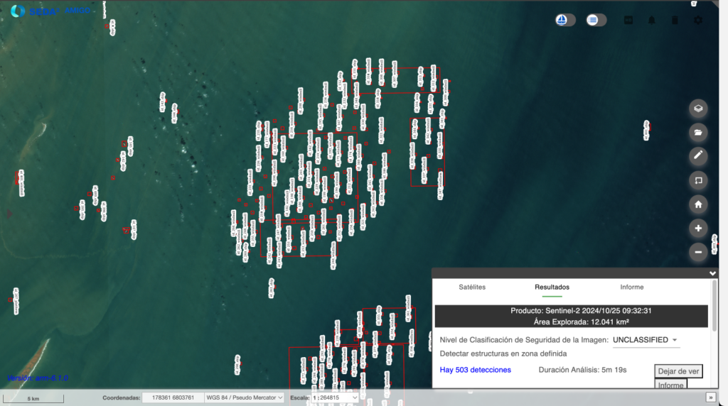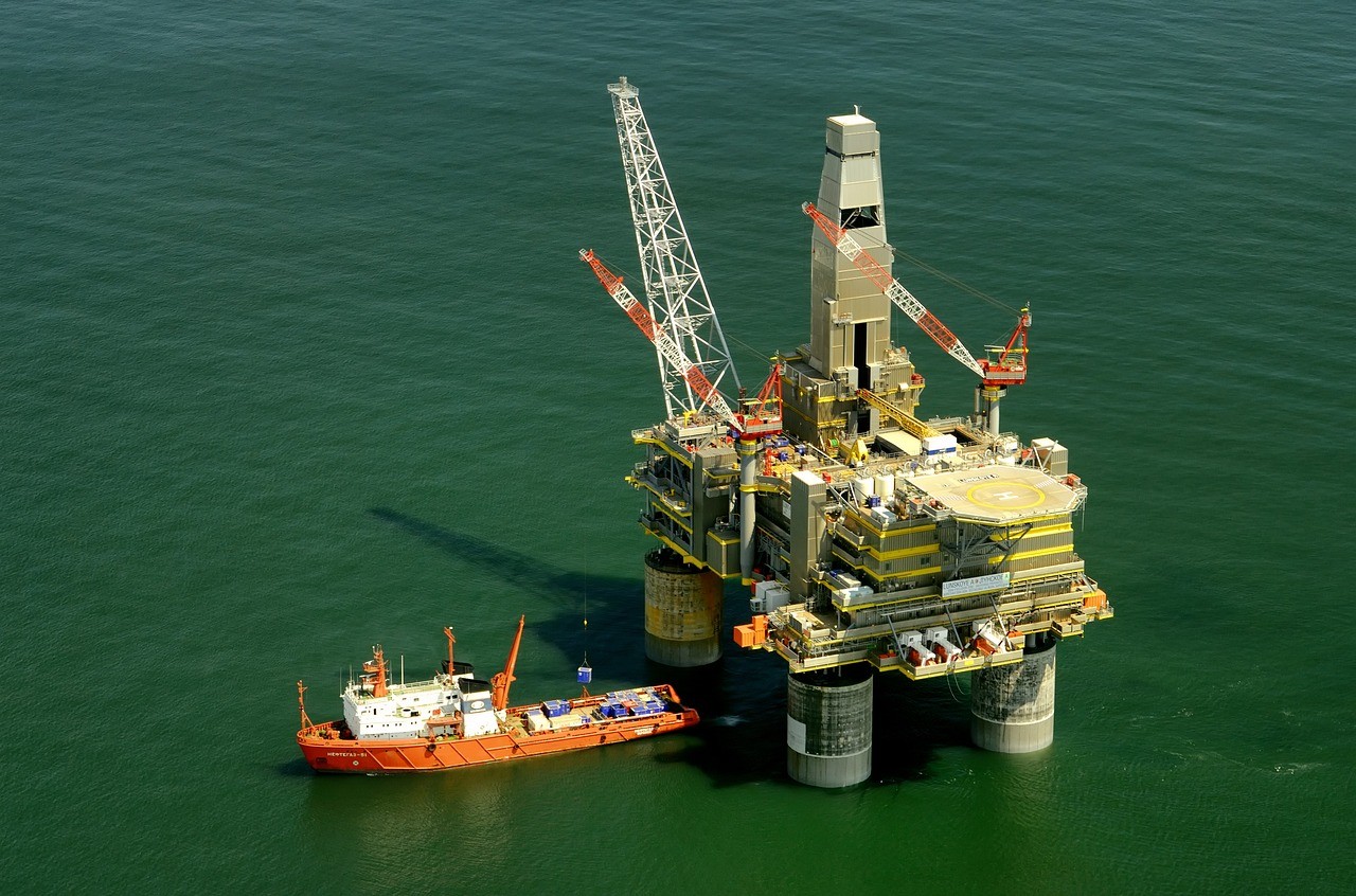
The detection and classification of large structures consists of detecting and identifying the type of structure, differentiating between offshore platforms and windmills. The automation of this task is important for both maritime and environmental safety. This involves considerable reduction of time and costsnecessary for the analysis and processing of images covering large amounts of terrain, enabling fast and efficient decision making.
Input and model characteristics
The model for detection uses images SAR-IW (Synthetic Aperture Radar – Adquisition mode Interferometric Wide, de 10m/px), and images MR Electro-optical images, the aim is to rely on the most general and structural details in order to differentiate between classes that in themselves are very different from each other.
In SEDA a model based on Convolutional Neural Networks to segment into three distinct classes: the previously mentioned classes plus "ship." This model is trained with combined images from different datasets covering various regions of interest; models trained with medium-resolution images are often especially dependent on location, occasionally requiring retraining for proper performance in regions with vastly different terrain.
Model outputs
SEDA automatically processes the output of the CNN neural network, displaying the results of the detecciones en cajas (BB) superimposed on a GIS viewer. Also, from SEDA the results are provided in formats such as shapefiles, KML y NVG; in addition to other types of official formats used in the NATO environment, such as ISRSPOTREP and RECCEXREP. The analyzed image converted to NSIF, a format designed for the exchange of images and related data in defense and intelligence environments. The versatility of these formats allows the Integration of SEDA results into other platforms and geospatial analysis systems, both civil and military.