Image acquisition

Spatial Resolution in Satellite Images
Read more: Resolución Espacial en Imágenes SatelitalesThe Importance of Satellite Imagery Satellite imagery is an essential tool for understanding and analyzing our planet. From precision agriculture to climate change monitoring to military applications, these images allow us to observe the world from a unique perspective. For these images to be useful, it is essential to understand a fundamental concept: satellite imagery.

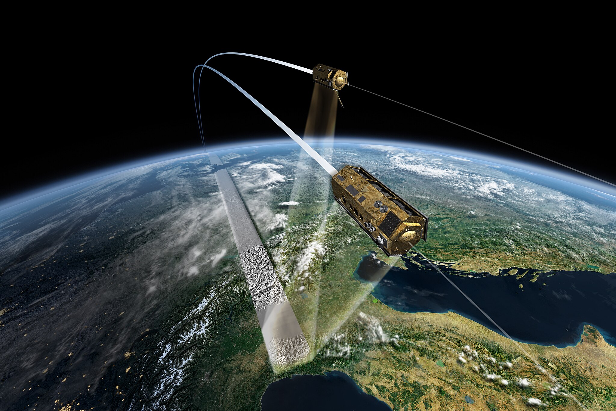
SAR image processing
Read more: Procesamiento de imágenes SARSynthetic aperture radar (SAR) image processing is a technically complex task that involves transforming raw data into usable products for specific applications, including advanced artificial intelligence (AI) systems. Due to the nature of SAR images, which are formed from reflected radar signals, processing the data is complex and requires little effort.

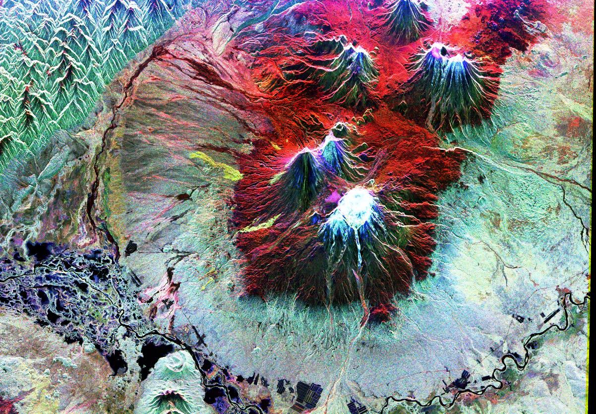
SAR technology: looking through the clouds
Read more: Tecnología SAR: observando a través de las nubesSAR (Synthetic Aperture Radar) images have become an essential tool in multiple sectors, from environmental monitoring to defense and national security. This type of satellite technology offers unique advantages that make it essential for obtaining accurate data about the Earth's surface, without depending on weather or climate conditions.