USE CASES

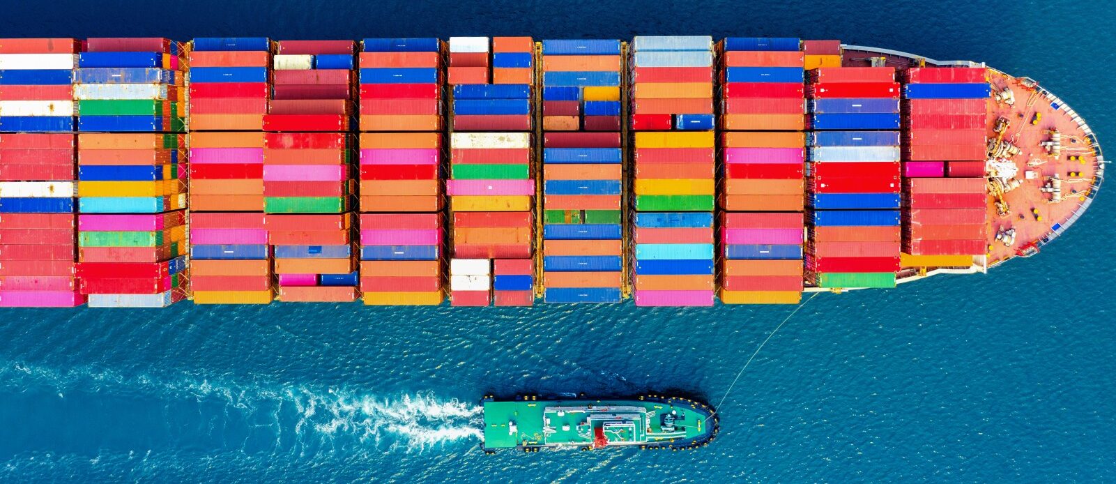
Alongside ships
Read more: Abarloamiento de buquesVessel alongside is a maritime term referring to a situation where one or more vessels are positioned parallel to another. This practice can have various logistical and safety implications. Detecting such scenarios is crucial in port environments, areas with heavy maritime traffic, and for surveillance in strategic regions. In this context...

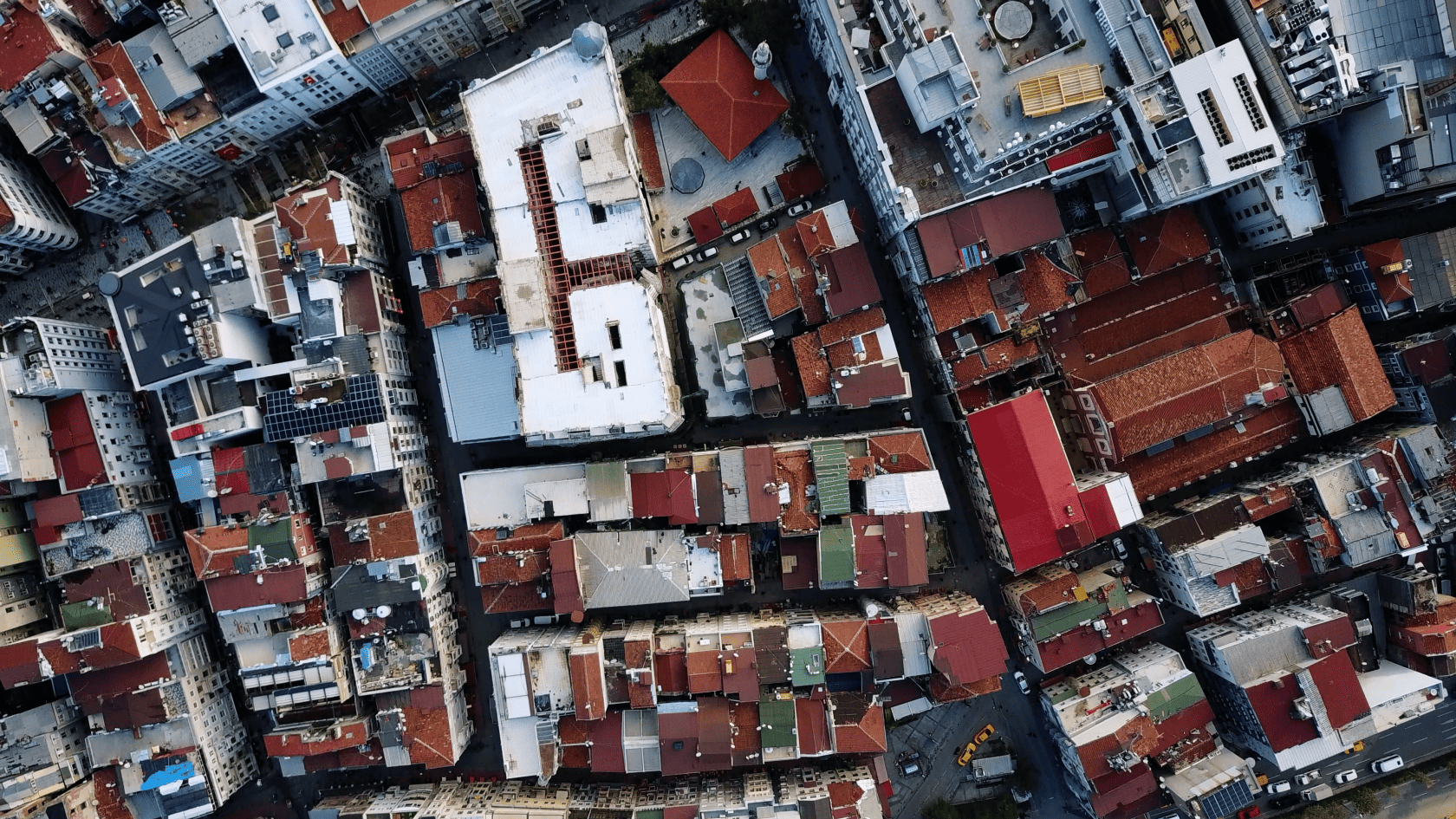
Buildings segmentation
Read more: Segmentación de edificiosBuilding vectorization, specifically through the detection of rooftops in high-resolution (HR) and very high-resolution (VHR) satellite images, is a key process in various fields, both civil and military. This approach allows for precise identification of building footprints using images with resolutions as fine as 1.5 meters...

Artillery Detection
Read more: Detección de ArtilleríasSatellite imagery plays a key role in the field of security, as it allows for remote and constant monitoring of areas of strategic interest. In particular, for the detection of weapons such as anti-aircraft artillery systems, satellite imagery provides a crucial advantage by offering a broad and continuous...

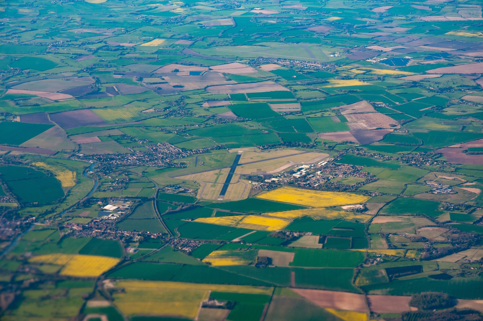
Land use classification
Read more: Clasificación de usos de sueloThe classification or segmentation of land uses consists of Identify the type/use of land corresponding to each region of the imageThe study of land type and cover (Land Use and Land Cover, LULC) focuses on the variation in the content of the planet's surface (vegetation, land, or water), together with...

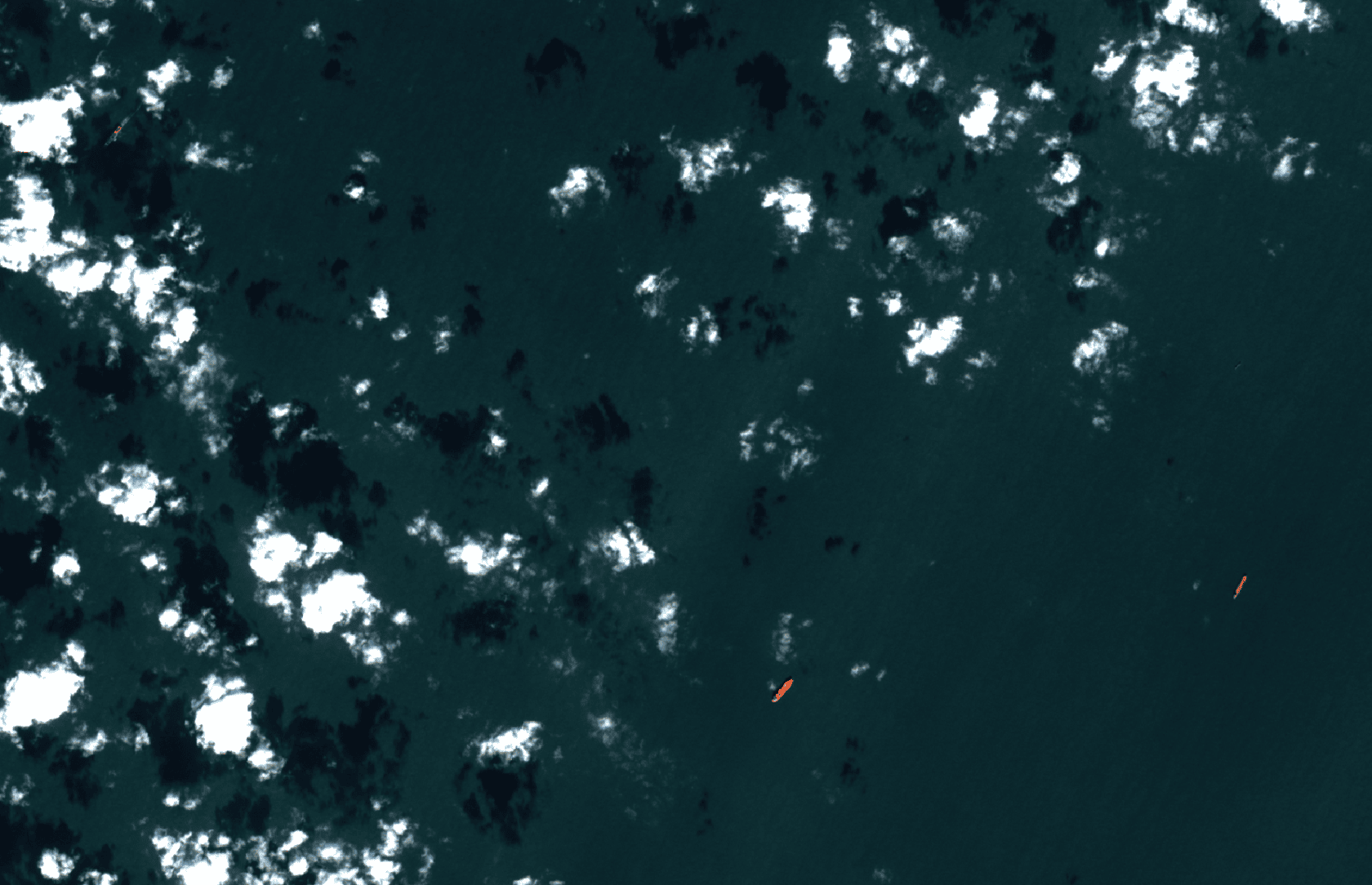
Vessel detection and classification
Read more: Detección y clasificación de buquesDetecting and classifying ships in satellite images is crucial for multiple applications, from maritime security to commercial traffic management. It enables governments to monitor their territorial waters, combat illegal activities such as unauthorized fishing and smuggling, and protect marine ecosystems. It also facilitates the optimization...

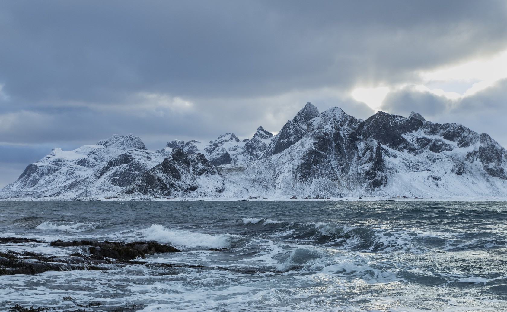
Ice concentration
Read more: Concentración de HielosThe prediction of ice concentrations consists of the SAR image analysis in polar areas for the identification of ice densities in areas of large frozen water bodies, thus allowing informed route planning through these areas, avoiding possible changes to the itinerary or damage to vessels. Traditionally, ice charts such as...

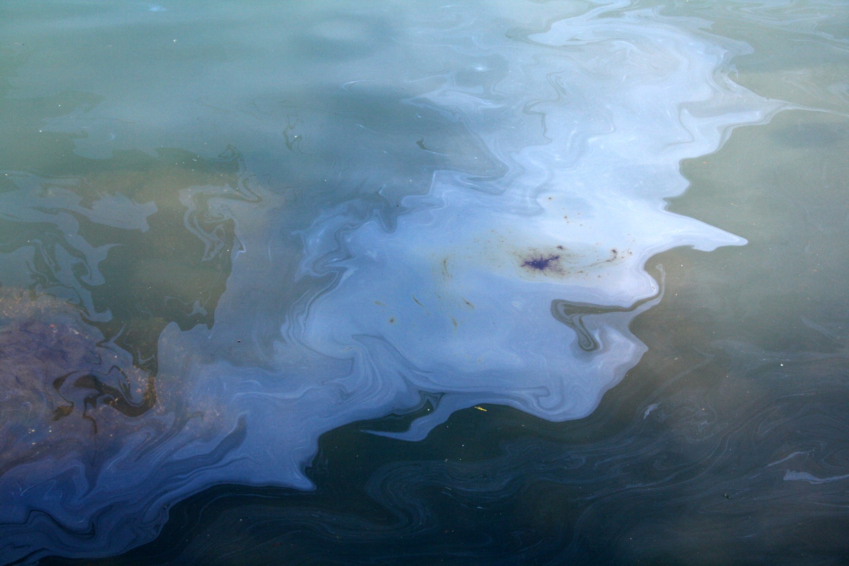
Spill detection
Read more: Detección de VertidosOil spills at sea represent one of the greatest threats to marine and coastal ecosystems. Detecting them early and accurately is key to reducing their impact and facilitating a rapid response. In this scenario, SEDA addresses this problem using satellite images and Artificial Intelligence techniques, managing to automate the task...