The I Civil-Military Congress on Geospatial Information represented a milestone in the confluence of two worlds, civilian and military, around a topic of vital importance: the management and exploitation of geospatial information. This event, organized by the Army Geographic Center and held in Ciudad Real in November 2022, served as a platform for sharing knowledge, experiences and technologies in an increasingly interconnected and strategic field.
In the military, geospatial information is critical to a wide range of activities, from operations planning to logistics and intelligence. It enables:
- Knowing the terrain: Create detailed maps and 3D terrain models to simulate scenarios and plan missions.
- Locate targets: Identify and track enemy targets with high precision.
- Manage resources: Optimize the distribution of troops and equipment according to terrain conditions and tactical situation.
- Communication and coordination: Facilitate communication and coordination between military units in real time.
The congress brought together experts from various institutions, both civilian and military, to discuss the latest developments in the field of geospatial information and its applications. Some of the topics addressed included:
- Hardware and sensors: The latest developments in positioning systems, remote sensors and drones, as well as their applications in geospatial data acquisition, were presented.
- Emerging technologies: The potential of artificial intelligence, machine learning and big data to analyze large volumes of geospatial data and extract relevant information was explored.
- Distribution and exploitation of information:The challenges and opportunities related to the storage, management and distribution of geospatial information in secure and scalable environments were discussed.
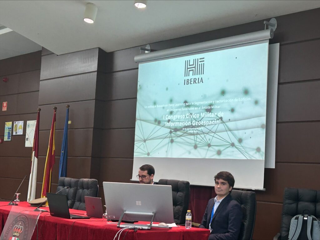
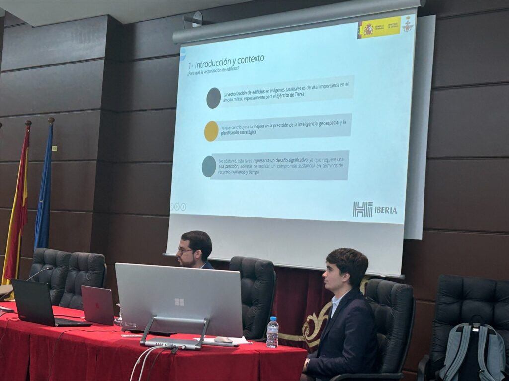
In particular, SEDA participated to share the progress and results of the artificial intelligence models used for the detection, vectorization and/or segmentation of buildings, roads, roads and soil typologies.
Civil-military collaboration in the field of geospatial information is critical for several reasons, the civilian sector has extensive experience in developing technologies and tools for geospatial data management, while the military sector has a high demand for innovative solutions for its operations. Collaboration can lead to economies of scale and the creation of common standards, which benefits both sectors. And finally, many technologies originally developed for military purposes can have civilian applications, and vice versa.