
Coastal change detection through comparative analysis of medium-resolution satellite images (approximately 10 meters per pixel) is an advanced methodology for monitoring alterations in coastal areas over time. This process involves comparing images taken at different points in time to identify variations in the coastline’s position, enabling precise analysis of changes due to erosion, sedimentation, human construction, or climate change effects.
This method uses image processing techniques that contrast specific areas in one image with another over time, detecting edges or clear transitions that indicate a retreat or advance in the coastline. Artificial intelligence algorithms and change classification techniques interpret differences in multispectral images, generating a map that highlights where and how much the coastline has changed.
Model Input
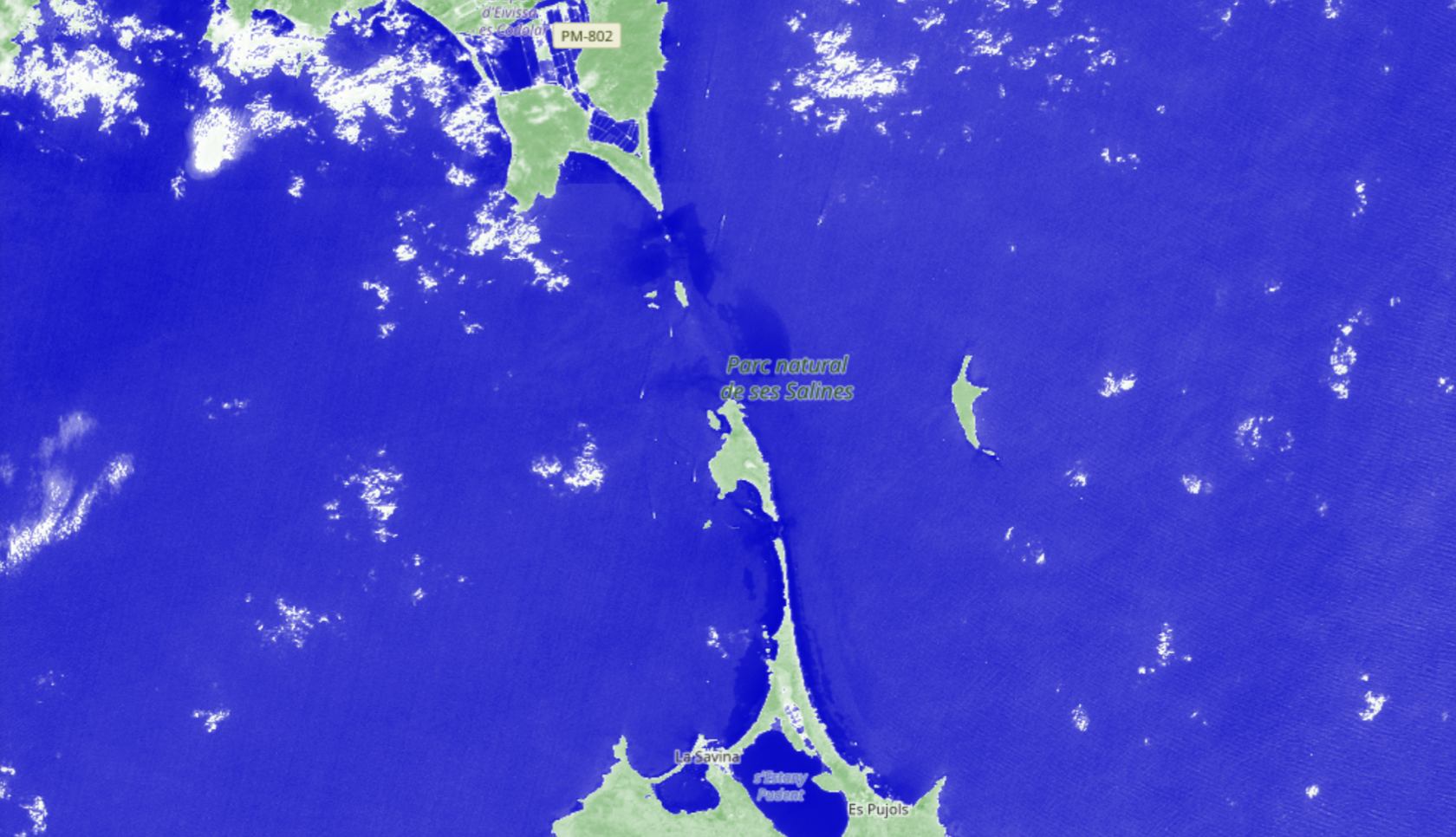
To achieve reliable detection, the input images used are typically multispectral, captured in multiple wavelengths, including the visible spectrum (red, green, and blue) and additional spectral bands, such as near-infrared. This type of image is essential as it allows the application of spectral indices (such as NDVI or NDWI) that are sensitive to variations in vegetation, water, and soil. For example, the NDWI (Normalized Difference Water Index) is particularly useful for distinguishing water-covered areas, aiding in the precise delimitation of the coastline.
Medium-resolution multispectral images (10 m/px) provide an adequate level of detail to observe changes across extensive coastal areas, capturing significant modifications in coastal geography without the need for very high resolution. This data type is ideal for monitoring long-term trends and changes in coastal morphology across hundreds of kilometers.
AI Model Output
At SEDA, users can perform this type of analysis using Sentinel-2 images. To do so, the user simply needs to specify the location and date range for the analysis. With this information, the system automatically retrieves and analyzes the satellite images, providing users with visual results and offering the download of reports in customized PowerPointformats, standardized formats such a KML, NVG y Shapefiles and official NATO NSIF, ISRSREP y RECCEXREP.
The following image illustrates a change detection comparison, specifically a airport construction in the Hong Kong area.
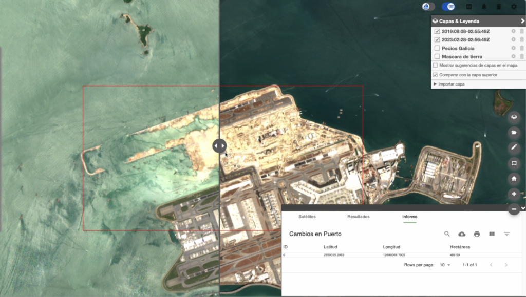
The image shows a red box, highlighting the detected area of change, and a sliding central bar used to compare the previous and the next image (located to the left and right of this bar, respectively).
Applications
Coastal change detection through medium-resolution satellite image analysis has numerous practical applications:
- Climate Change Assessment: Enables analysis of sea level rise effects and extreme weather events, providing information to assess the impact on coastal communities and plan adaptation measures.
- Coastal Resource Management: Assists in the planning and management of natural resources by identifying areas vulnerable to coastal erosion and enabling the implementation of conservation and restoration strategies.
- Monitoring of Human Activities: Facilitates the detection of coastline modifications due to human activities, such as port construction, infrastructure development, and urban expansion in coastal areas, supporting environmental regulation and compliance.
- Protection of Coastal Ecosystems: By monitoring changes in sensitive areas, such as wetlands and estuaries, conservation plans can be developed, and ecosystem health assessed, especially in zones with protected flora and fauna.
Altogether, the use of medium-resolution multispectral images and change detection techniques provides a comprehensive view of coastal dynamics, making it an indispensable tool for coastal management and preservation.